


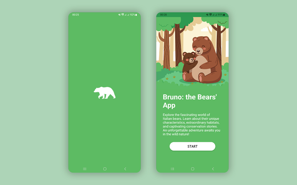
Bruno is a native Android mobile application developed in May 2023 to address a vital ecological topic across mountainous regions: wildlife preservation and fostering responsible human coexistence with brown bears.
The software was engineered inside Android Studio using Java for business logic and XML for lightweight, responsive native layouts. To manage geolocation records and synchronized field updates, the application was integrated with Google Firebase.
Architecture & Technology Stack
Implemented Modules & Architecture
Bruno's internal architecture brings together distinct components built for outdoors safety and wildlife education:
- Protected Reserves & Territory Mapping: interactive cartography displaying nature park borders, wildlife corridors, and documented habitat ranges.
- Sighting Report System: an entry pipeline allowing hikers and authorities to pin coordinates and timestamps, helping users monitor active wildlife activity.
- Ethology Sheets & Safety Guidelines: informative datasheets covering species habits alongside official behavioral protocols in case of close encounters.
"Developing Bruno was an ideal project to combine custom interactive maps with real-time NoSQL data synchronization on Firebase, validating asynchronous coordinate rendering on mobile hardware."
The offline dataset caching logic and coordinates mapping algorithms refined in Bruno became valuable structural references for later mobile and web tools developed by Starlyware.